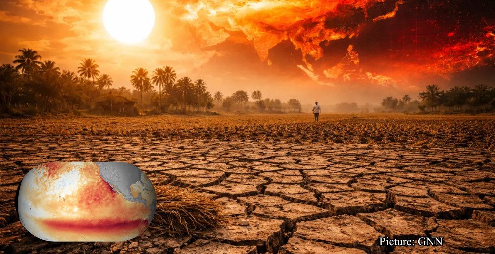


Winter may still be weeks away on the calendar, but for millions across the United States, it’s about to feel like mid-January. A powerful trio of Arctic blasts is lining up, and they’re expected to send temperatures crashing across huge portions of the country — the type of cold that makes your heater work overtime.
While some parts of the nation are hanging onto the last mild days of fall, meteorologists warn that a major shift is coming. Here’s what you need to know as the first wave hits.
Wave 1: Arctic Air Arrives This Week
Forecasters at AccuWeather say that not one, not two, but three separate polar vortex events could hit the U.S. between early and mid-December. Each wave is expected to plunge the central and eastern states into sharp, potentially dangerous cold.
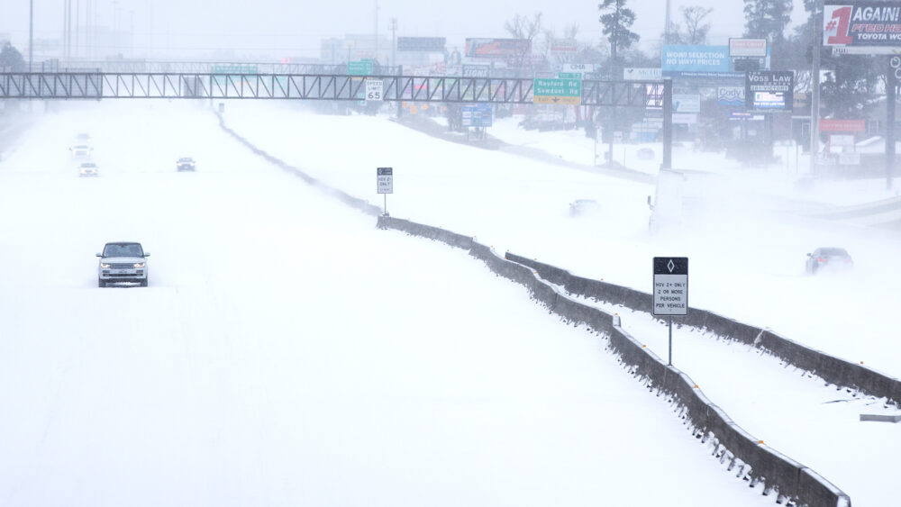
The first Arctic blast is arriving this week, bringing snow showers, squalls, and possibly the setup for larger winter storms.
“This outbreak will be the first of likely three,” said Paul Pastelok, AccuWeather’s Lead Long-Range Meteorologist. He added that these cold shots may roll in week after week — meaning energy usage is almost certain to rise nationally.
Who Will Feel the Worst of the Cold?
Residents in the Upper Midwest and Northern Plains are already experiencing temperatures dropping fast. Early forecasts show wind chills between –10°F and –25°F by Thursday, Dec. 4, with the bitter cold extending into Friday.
As the Arctic front slides east and south, snow belts from the Great Lakes to the northern Appalachians may see fast-moving bursts of snow and whiteout-level squalls.
If your winter gear has been hiding in the back of the closet, now’s the moment to pull it out.
What Is a Polar Vortex, Really?
The polar vortex is a huge, swirling mass of extremely cold air that typically stays locked over the Arctic. Most of the time it is stable, but occasionally parts of the system weaken or break apart.
When that happens, the jet stream dips southward — dragging frigid Arctic air along with it. It’s similar to a broken dam releasing icy water, with nothing left to hold back the cold.
These disruptions can trigger widespread cold waves across North America, Europe, and Asia.
Why Wind Chill Matters So Much
Cold temperatures are one thing — wind chill is another. The stronger the wind, the faster your body loses heat, which dramatically increases the risk of frostbite.
The National Weather Service uses a standardized wind chill chart to show how rapidly frostbite can occur depending on temperature and wind speed.
In extreme cold, unprotected skin can be at risk within minutes.
Prepare Now: Three Waves Are Coming
With multiple blasts of Arctic air forecasted, preparation is essential:
- Stock up on groceries and essentials before winter weather disrupts plans.
- Test your heating system and seal any drafts.
- Protect pets from exposure during severe cold snaps.
- Keep extra blankets, flashlights, and warming layers accessible.
If you rely on space heaters, make sure they’re used safely to avoid fire hazards.
Energy Bills and Power Grids Could Be Tested
These repeated cold plunges don’t just make life uncomfortable — they can create spikes in energy demand, straining regional power grids and driving up heating costs.
Simple steps like closing unused rooms, adding weather stripping, or using thermal curtains can save energy without sacrificing comfort.
Bottom Line
A three-part polar vortex pattern is poised to dominate early December, potentially delivering some of the coldest weather of the season. Whether you’re directly in the path or catching a glancing blow, taking steps now can ensure you stay safe, warm, and ready for whatever winter throws your way.